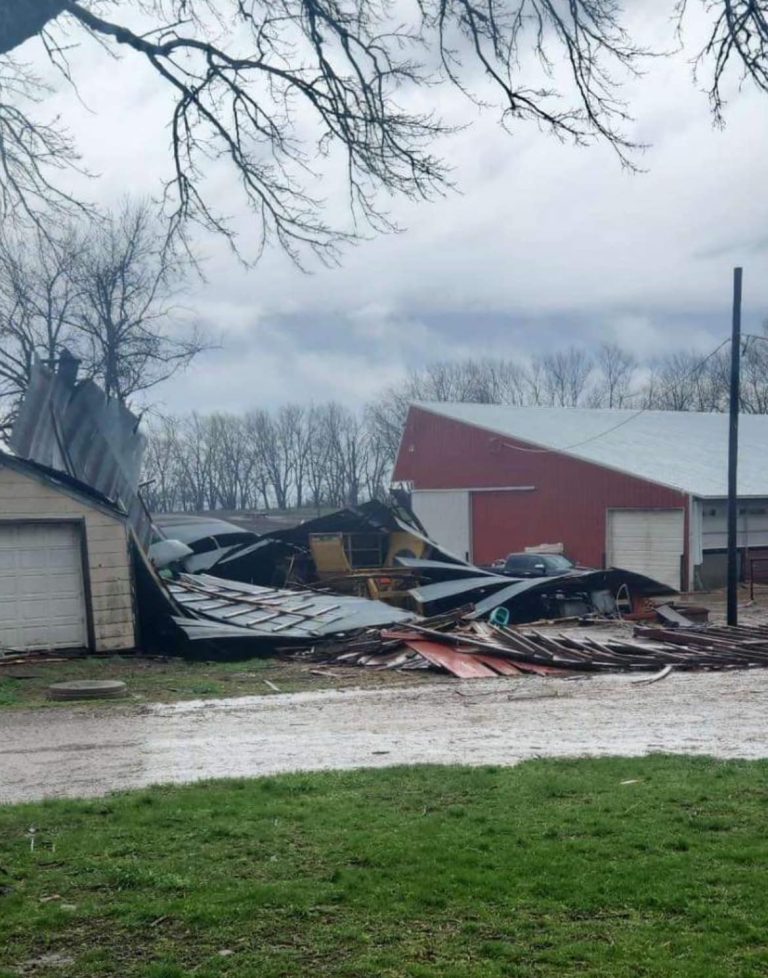
 Northwest Iowa — As the spring thaw arrives and rivers start to rise, a free online tool is available for some 19 Iowa communities, including three here in northwest Iowa, that shows river levels and flooded areas – street to street – all in real time. The tool is called the Iowa Flood Information Service or IFIS.
Nate Young, Associate Director of the Iowa Flood Center, says IFIS pulls data from several state and federal sources.
In addition to the real-time views, there are more than one-thousand waterways in communities all across Iowa hyperlinked on the website. The tool is designed to help emergency managers know where to deploy resources like sandbags and it can help Iowa homeowners know if their house may soon be in jeopardy.
The maps allow city planners and residents to see various flood scenarios to help prepare for flood emergencies and make informed decisions.
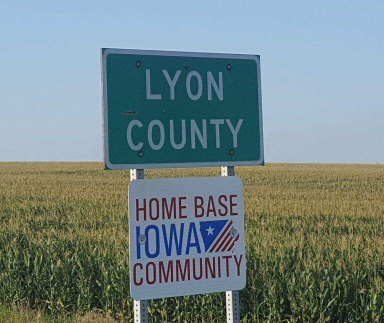
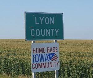
Those with real time features include: Rock Valley, Rock Rapids and Spencer in our area, as well as Ames, Cedar Rapids, Charles City, Columbus Junction, Des Moines, Elkader, Hills, Humboldt, Independence, Iowa City, Mason City, Maquoketa, Red Oak, Ottumwa, Waterloo/Cedar Falls and Waverly. The Iowa Flood Center is based at the University of Iowa.
To view the IFIS website, click here.