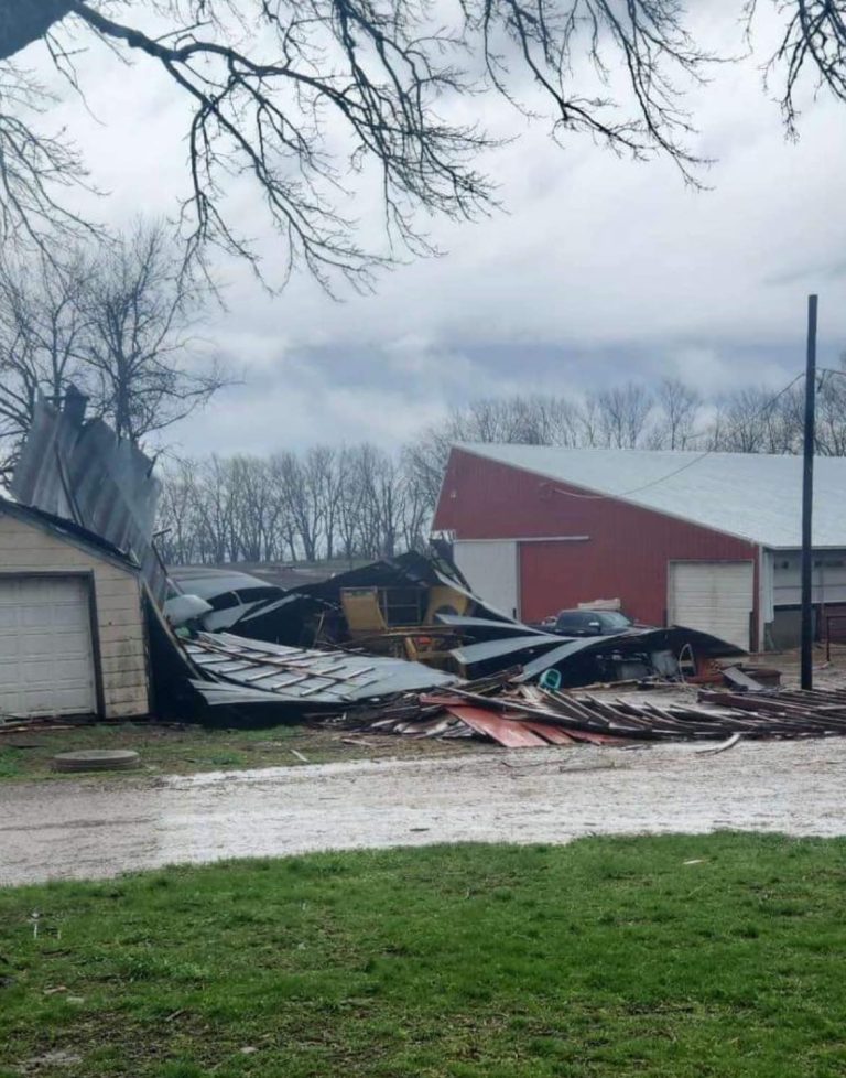
Rain will once again lift northward today, with the greatest risk for widespread rains this afternoon and evening. Overnight, colder air arrives and we’ll see rain begin to change to snow in central South Dakota and Nebraska. Accumulating snow is likely, with the potential for 1 to 4″ of snow in portions of the state. A few flurries or rain/snow mixture may reach as far as Interstate 29 Wednesday morning. A very cold Thursday and Friday are now likely, with a hard freeze Thursday night.
As colder air moves into the area Tuesday night and Wednesday morning, rain may transition to snow. Snow accumulations appear likely across central Nebraska and South Dakota by Wednesday morning, with totals of 1 to 4″ possible. Slightly higher accumulations may be possible in higher terrain areas. Further east, the chance for accumulating snow is lower, but snowflakes could mix with rain as far east as Interstate 29 by daybreak Wednesday.
An expansive risk for excessive rainfall continues Tuesday and Tuesday night. While the highest risks have shifted east of the area, those in Northwester Iowa will need to continue to monitor for river flooding potential into Wednesday.
Iowa DOT Road Conditions: CLICK HERE
For Iowa DOT Plow Map: CLICK HERE
Minnesota DOT Road Conditions: CLICK HERE
South Dakota DOT Road Conditions: CLICK HERE
Nebraska DOT Road Conditions: CLICK HERE
North Dakota DOT Road Conditions: CLICK HERE
Missouri DOT Road Conditions: CLICK HERE
Illinois DOT Road Conditions: CLICK HERE


