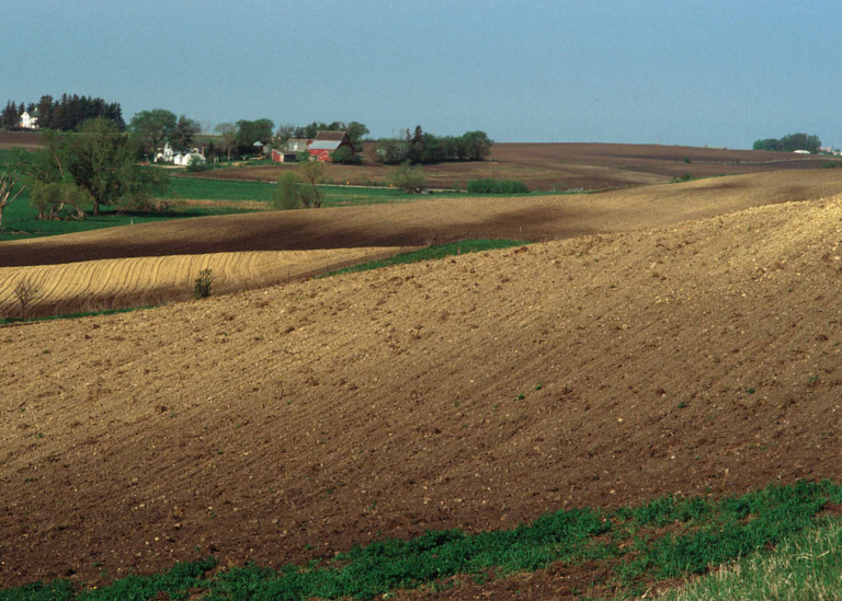

The big story and concern over the next few days will be the active and rainy weather expected into the middle of next week. While it will not rain ALL the time, numerous periods of rain through early Wednesday will bring widespread rain totals of 1 to 3 inches to the area. Locally higher amounts will be possible over northwest Iowa. This will lead to renewed concerns of rises on area rivers and streams as well as ponding of water in fields and low lying areas.

We often talk about the risk for “excessive rainfall”, but what does that mean? Here’s a closer look.

As rain chances continue to start the week, there is an increased risk for excessive rainfall. This means that rainfall totals could lead to flooding concerns, ponding of water, and even flash flooding in some areas. Continue to monitor your local forecast.
Iowa DOT Road Conditions: CLICK HERE
For Iowa DOT Plow Map: CLICK HERE
Minnesota DOT Road Conditions: CLICK HERE
South Dakota DOT Road Conditions: CLICK HERE
Nebraska DOT Road Conditions: CLICK HERE
North Dakota DOT Road Conditions: CLICK HERE
Missouri DOT Road Conditions: CLICK HERE
Illinois DOT Road Conditions: CLICK HERE