
Statewide Iowa — The Iowa Flood Center is unveiling a new tool to help Iowans living along the Missouri River prepare for flooding.
 Larry Weber, co-founder of the Iowa Flood Center, says the interactive map will give people who may be impacted by flooding the information they need in a times of crisis.
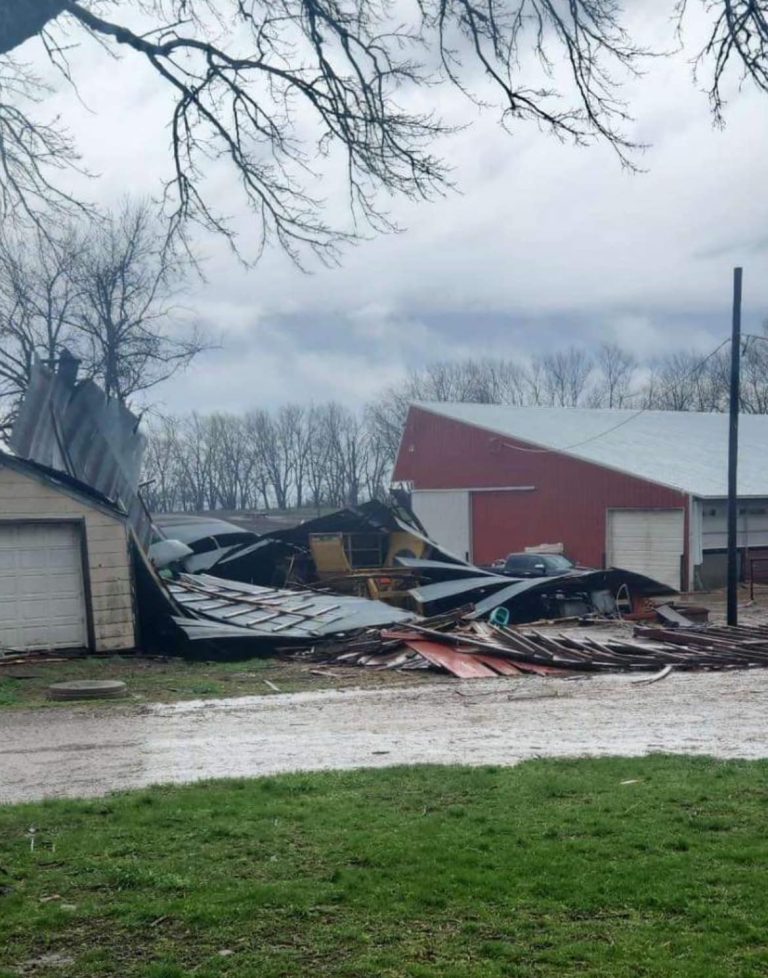
The system is one part of a larger initiative to help impacted communities recover. Weber says the number one priority was making the technology accessible to everyone and the project took collaboration from the US Army Corps of Engineers, the National Weather Service and the University of Iowa-based Iowa Flood Center.
Weber says the flood prediction tool can also help them see how increasing the number of wetlands or watersheds in the area could stem flooding. The Iowa Flood Center started to develop the system after the damaging floods of 2019.