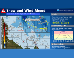
Northwest Iowa — Strong winds will develop through the day on Thursday, with gusts over 45 mph at times into the evening.
Rain and snow showers will develop later today, with more widespread snow anticipated overnight and into Friday morning. Snow and strong winds may combine to create poor travel conditions through mid-day Friday, especially across Northeastern South Dakota and portions of western Minnesota. The first snow of the season can frequently cause difficulties. Be prepared and plan for a slower drive on Friday morning.

Here is a closer look at the winter related headlines for this upcoming winter storm.
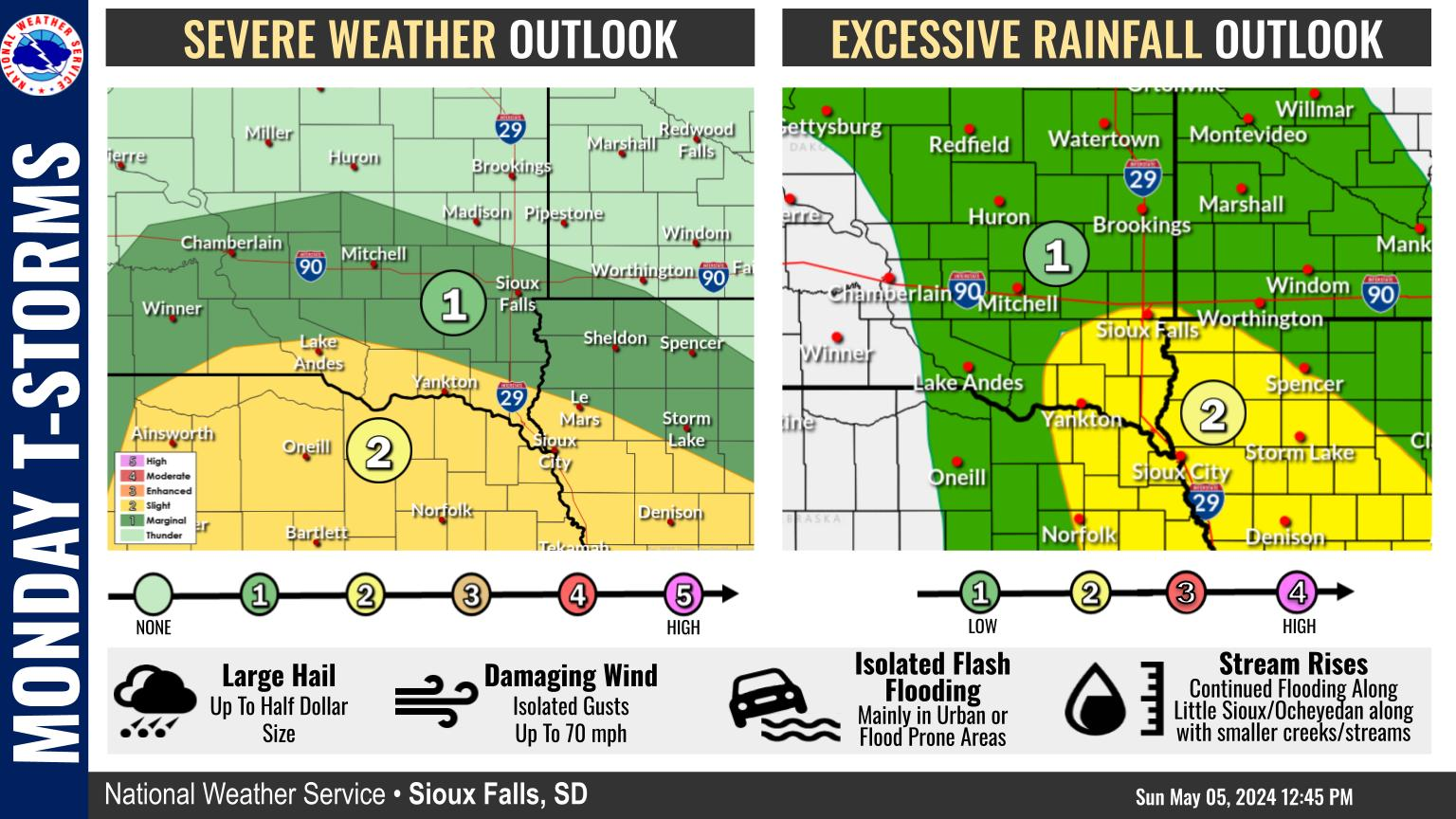
Here’s a closer look at the timeline of snow into the area. For many of us, the chance for accumulating snow waits until late Thursday evening or even after midnight. Snow generally ends by mid-morning Friday.
Strong winds will prevail across most of the area on Thursday and are expected to linger through Friday. Wind gusts to 50 mph or greater are possible at times.

