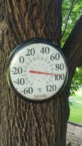
Northwest Iowa — October is almost on us, and the dawn of October, 2020 is forecast to bring some changes to our area temperatures.
Matthew Dux is Lead Forecaster at the National Weather Service in Sioux Falls and he says widespread frost is forecast for northwest Iowa later this week.
(As above) “We’re looking at, right now, a very cool and dry airmass moving into the area, so by the time Thursday night and Friday morning rolls around we should see clear skies and temperatures dropping (to) anywhere in the 31 to 36 degree range across much of northwest Iowa. Why we call it frost..the definition of frost would be basically when temperatures start to fall below the 36 to 38-degree temperature threshold.”
He says this frost could cause some damage to vegetation.
(As above) “Your more sensitive vegetation, especially once you drop below 36-degrees, will be much more sensitive to the temperatures. And you’ll probably see some damage there.”
Dux says forecasters use different terms such as frost, freeze and hard freeze to describe fall temperature conditions. He explains the difference.
(As above) “We have a couple of different tiers when it comes to forecasting fall temperatures and the concerns with them. Frost typically begins into the mid-30s. We start to see a Freeze, which means that temperatures drop to about 32-degrees, and this means that you could have some more significant damage but your plants may still survive afterward. And then we have what’s called a Hard Freeze, which is when we get to the 28 or 27-degree temperature time frame. And when this happens, typically any plant that’s exposed to temperatures in the middle to upper-20s, even if it’s only an hour, won’t survive after that exposure.”
So even though there is no Freeze or Hard Freeze expected from Thursday night into Friday morning this week, Dux says you may still want to cover your outdoor plants.


