


Iowa (RI) — The experts now say the powerful storm that rolled over Iowa Monday night and into Tuesday was a derecho, an exceptionally long-lasting and damaging wind storm, which some call a land hurricane. Winds in the storm topped off in northwest Iowa at 99 miles an hour, and cleanup in multiple communities statewide may take a week. Meteorologist Alexis Jimenez, at the National Weather Service, says derechos are always designated after the fact.
[mkwx6] :19 “derecho or not” <em>
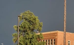
Iowa was walloped with more powerful storms Tuesday night and into this morning, marking the third straight night of wicked weather. Jimenez says this latest round wasn’t as severe as the previous night, but it did push at least one Iowa city into record territory during what’s usually one of the state’s driest months.
Some areas of the state got three more inches of rainfall overnight, and strong winds again tore through trees, ripping off limbs and knocking out the power to many thousands of homes across Iowa.
Along with three nights in a row of storms, Iowa also had multiple recent days with heat advisories and extreme heat warnings, as heat indices climbed as high as 115 degrees some afternoons. Jimenez says the forecast calls for more pleasant, calm weather ahead with dry conditions and highs the next several days only in the 70s.