Northwest Iowa — Our area is again under the gun for severe weather.
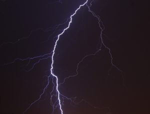
For the second consecutive evening, the risk of severe weather in our part of northwest Iowa is what the Storm Prediction Center calls “Enhanced.” That means there is an increased risk for severe thunderstorms.
We talked to National Weather Service Meteorologist Philip Schumacher. He gives us an idea of what to expect.
While the storms are expected to organize into a squall line, Schumacher does not use the word “derecho.” He says derechos are usually much larger, have sustained winds, and last longer. He gives us some information about the expected track of the storms.
Weather service officials advise everyone to have a main method of receiving weather warnings and at least one backup method so that you can act when needed. They remind you to stay “weather aware” in times like this. Stay tuned to KIWA for weather information 24/7.

