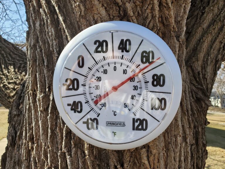
A nice but warm Thursday is on tap for the region. The calm won’t last for long, as showers and storms return to the forecast late Friday afternoon into Saturday morning. Some storms could be severe, especially during Friday night. Keep an eye on the forecast and have multiple ways to receive any warnings – they may be issued when you are asleep!
Showers and storms return late Friday afternoon through Saturday morning, with severe storms being possible Friday night into the overnight hours. At this time, the main threats look to be high straight line winds and large hail. With severe weather potentially occurring while you may be outdoors or while you may be sleeping, make sure to have multiple ways to receive a warning should one be issued!
Iowa DOT Road Conditions: CLICK HERE
For Iowa DOT Plow Map: CLICK HERE
Minnesota DOT Road Conditions: CLICK HERE
South Dakota DOT Road Conditions: CLICK HERE
Nebraska DOT Road Conditions: CLICK HERE
North Dakota DOT Road Conditions: CLICK HERE
Missouri DOT Road Conditions: CLICK HERE
Illinois DOT Road Conditions: CLICK HERE


