IARN — A few changes were noted for Iowa on the weekly US Drought Monitor.
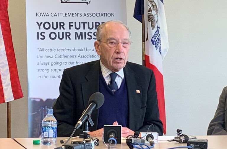
Iowa state climatologist Dr. Justin Glisan tells the Iowa Agribusiness Radio Network that the most noticeable change week/week on the Drought Monitor released Thursday morning was an expansion of D0 – or abnormal dryness – in the eastern part of Iowa.
“We’ve seen some dryer conditions start to creep up,” Glisan said. “When we see abnormally dry conditions expand, that’s just telling us that part of the state is actually seeing dryer than normal conditions in the short term. There was no expansion of drought, which is a good thing. We’ve had a pretty wild weather week here. We’ve had anywhere from – if you look at central Iowa – six to nine inches of snowfall on Monday. Earlier than normal snowfall for this date, but any kind of moisture that we get is good this time of year especially given the dry subsoil conditions that we’ve seen across the state.”
Total drought coverage area is noticeably lower compared to reports from mid-to-late August when roughly 99 percent of the state was experiencing some sort of drought condition. Glisan says the small pocket of D3 – or extreme drought – still exists in the northwest corner of the state.
“We do see that D3 category still there and it’s a little over 4.5 percent of northwestern Iowa,” Glisan said. “That part of the state has been very interesting because it’s been right in between the storm tracks. We’ve had storm tracks north and we have had storm tracks south. It’s been very interesting to watch that. There is just an island of dryness that goes back six to eight months, and it just kind of perpetuates there.”
The latest US Drought Monitor can be viewed here.
Story courtesy of the Iowa Agribusiness Radio Network


