

Des Moines, Iowa — You may have missed it over the long holiday weekend, but the experts confirm a rare derecho blasted across far southeastern Iowa last Thursday.
It was relatively minor compared to the derecho that swept over Iowa in August of 2020 which is considered the most costly thunderstorm in U.S. history. State climatologist Justin Glisan says last week’s powerful, long-lasting wind storm began forming in northeast Missouri and caused plenty of damage across Iowa and two other states.
Wind gusts in that corner of Iowa exceeded 100 miles an hour, toppling trees and power lines and damaging roofs. Two people were reported hurt in the storm in Illinois. Glisan says the derecho put a severe end to a relatively calm month of June for Iowa.
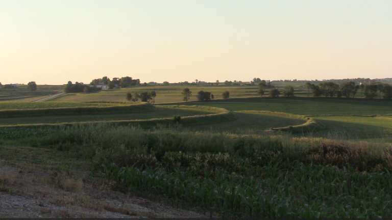
Iowa is seeing drought conditions worsen week by week and he says June brought little help, and little rainfall.
The long-range forecasts indicate July may not be as hot as we’re used to in Iowa.
The latest map from the U.S. Drought Monitor shows only parts of two counties in northwest Iowa are seeing normal moisture levels, while the rest of the state is abnormally dry or experiencing drought, ranging from moderate to severe to extreme. Those extreme drought conditions are in far western Iowa and in south-central and southeast Iowa.