Northwest Iowa — (RI) — The second so-called bomb cyclone in less than a month is bringing Iowa a mix of snow, ice, rain, high winds and the threat of flooding, hail and tornadoes.
Meteorologist Kenny Podrazik, at the National Weather Service in metro Des Moines, says advisories and warnings about the high winds are posted for a wide section of northern and central Iowa.
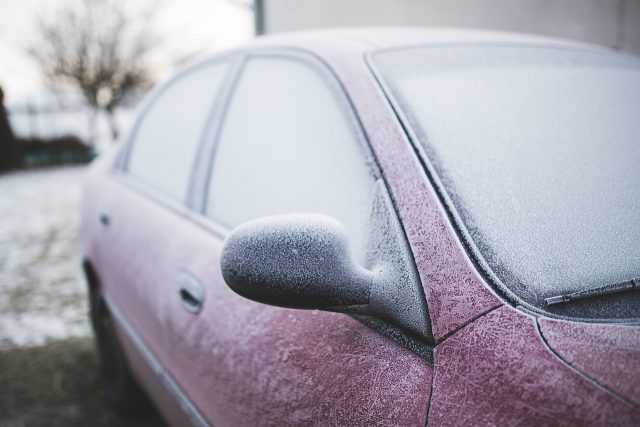
MidAmerican Energy reports some 18-hundred homes and businesses were without power Thursday morning, while Interstate-35 northbound near Dows was blocked due to a semi that was blown onto its side. An Ice Storm Warning is in effect until Friday morning for parts of northwest Iowa, while several northern counties are seeing snowfall, enough to delay school two hours in some areas. Podrazik says there’s a threat of more severe weather coming Thursday afternoon.
The first bomb cyclone brought snow and heavy rain a little over three weeks ago, which translated into record flooding in parts of southwest Iowa. There were fears this storm would bring a repeat of the flooding.
While some Iowans were outside in shorts and t-shirts on Monday as high temperatures soared into the 70s and low 80s, highs statewide on Friday may only be in the 30s and 40s. The forecast calls for temperatures to warm back into the 60s and 70s by early next week.


