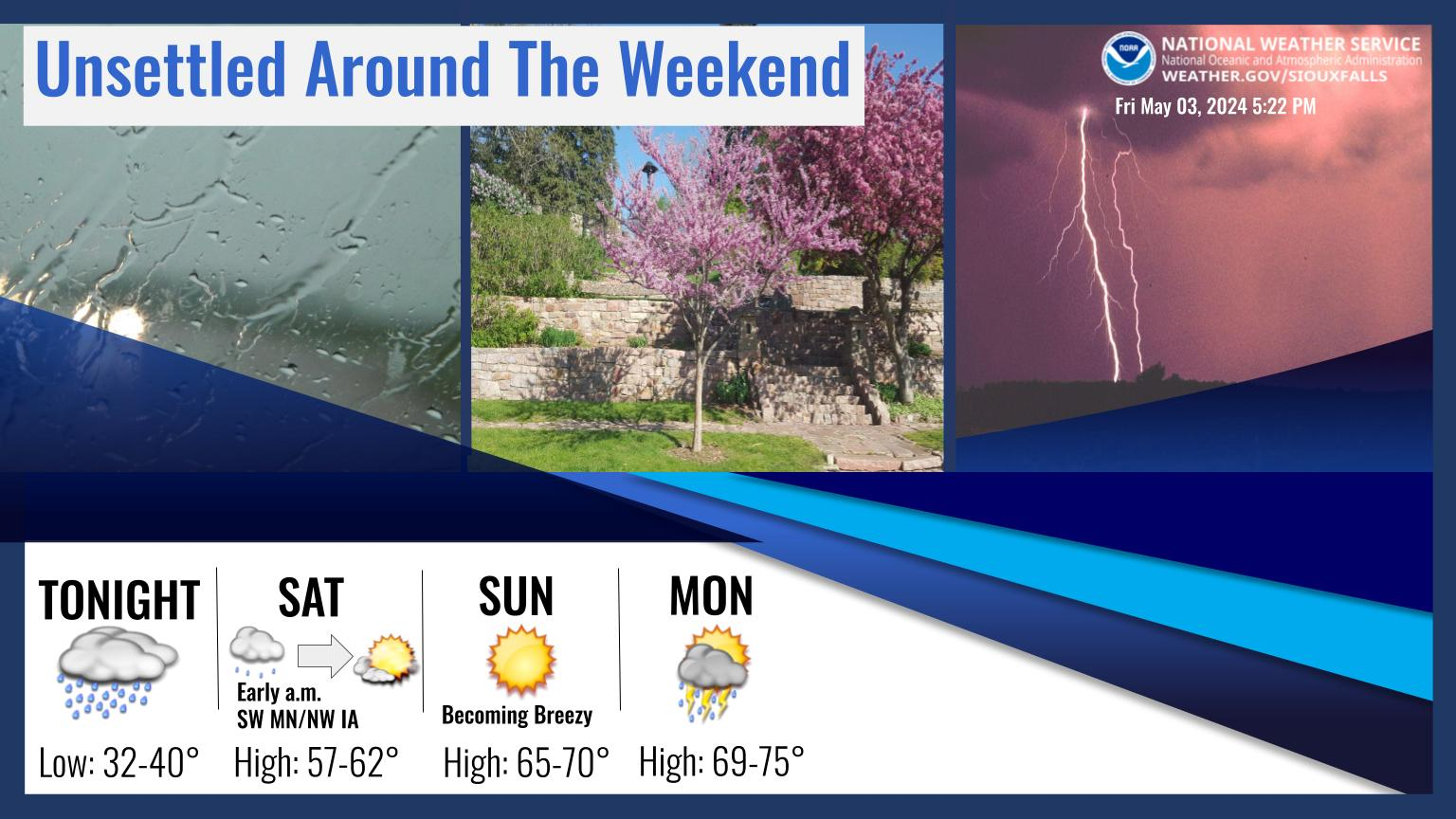
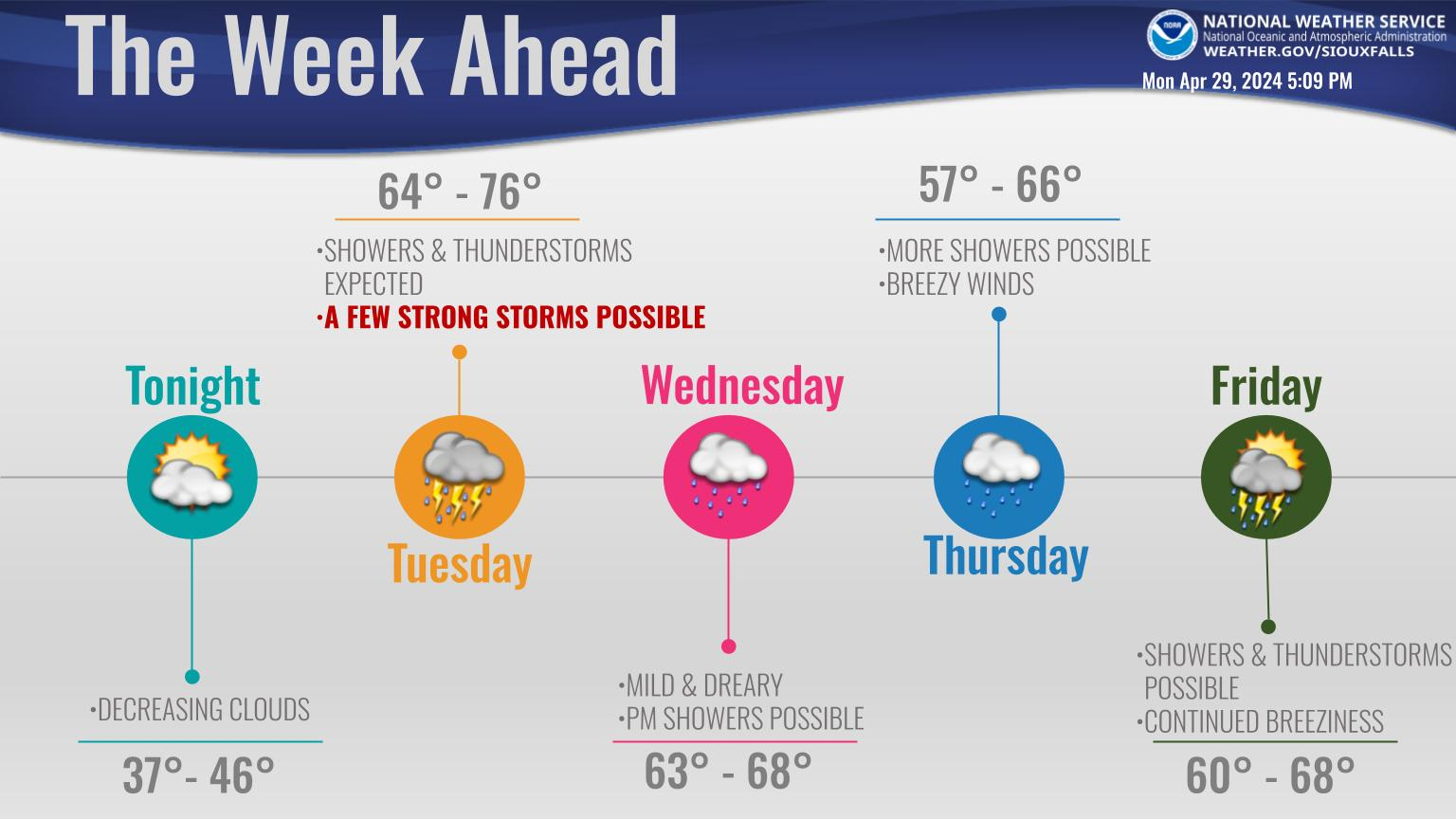
Showers this morning will dwindle somewhat through the middle portion of the day, but more showers and thunderstorms will develop later today and continue this evening.
A few storms in and near northwest Iowa could be severe late afternoon or tonight, especially south of Highway 18. The greatest coverage of rainfall should be tonight through Wednesday morning, then precipitation should be much more scattered heading into Wednesday night. Average rainfall across the area will likely be from a half inch to inch and a half, but as is the case, could be locally higher if thunderstorms persist in a particular location.

Another chance for rain and storms moves in across the area this afternoon into tonight. Some storms could be strong, with the potential for isolated severe storms. The greatest hazards are large hail and heavy rain. Remain weather aware.

Widespread rainfall of 1.5 inches, to as much as 4+ inches, was reported across far southeast South Dakota, northeast Nebraska, northwest Iowa and southwest Minnesota Sunday night into Memorial Day. This rainfall on already saturated ground, has caused renewed rises on some area rivers and creeks. Additional rainfall is possible late Tuesday through Tuesday night. For the latest flood forecast information, please visit: https://water.weather.gov or https://www.weather.gov/fsd/flooding


