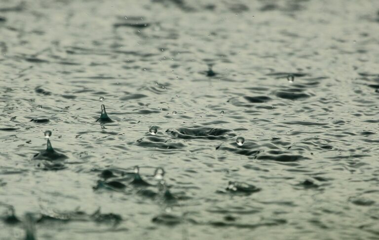

We’ll shake off those few lingering morning showers from the lower Missouri River valley through northwest Iowa, then work on decreasing those clouds from northwest to southeast through the day. Much drier air will filter southward, and set the stage for a seasonably cool night tonight. Thursday will be a splendid and mainly sunny day – comfortable humidity levels and temperatures a bit below normal. For the most part, a dry and seasonable period will continue into the upcoming weekend.

After the rain ends across the tri-state area by mid morning Wednesday, cooler and mostly dry weather will be experienced through Sunday. Afternoon highs in the low to mid 70s, and noticeably lower humidity levels, are expected to prevail across the area, as Canadian high pressure takes control. There could be a few showers south of I-90 Friday night and Saturday morning, and maybe some isolated thunderstorms Sunday morning near and west of the James River, but the details of this precipitation are not certain yet. Further information will be shared as the weekend approaches.
Iowa DOT Road Conditions: CLICK HERE
For Iowa DOT Plow Map: CLICK HERE
Minnesota DOT Road Conditions: CLICK HERE
South Dakota DOT Road Conditions: CLICK HERE
Nebraska DOT Road Conditions: CLICK HERE
North Dakota DOT Road Conditions: CLICK HERE
Missouri DOT Road Conditions: CLICK HERE
Illinois DOT Road Conditions: CLICK HERE